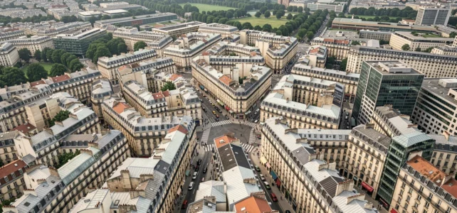
The shape of a city is not solely the result of geography. Behind every street layout, every built block, and every green space lies a planning choice that influences density, mobility, and quality of life. Understanding urban forms means reading the logic that organizes the built environment, the roadways, and the open spaces, and then measuring how this logic shapes the daily lives of residents.
Density, Mobility, and Service Costs According to Urban Form
Comparing urban forms requires establishing measurable criteria. Three variables allow us to distinguish the most common configurations: housing density, the modal share of soft mobility, and the costs of connecting to networks.
| Urban Form | Housing Density | Soft Mobility and Public Transport | Service Costs and Networks |
|---|---|---|---|
| Compact (historic center, dense blocks) | High | Favored by proximity to amenities | Shared, low unit cost |
| Sprawling (suburban housing areas) | Low | Dependence on individual cars | Extensive, high unit cost |
| Mixed (small apartment buildings, townhouses) | Intermediate | Variable depending on road network | Intermediate, optimizable |
This table highlights a direct link between density and service costs. The looser the urban fabric, the more expensive the water, sanitation, and roadway networks are per serviced housing unit. Conversely, the compact form shares infrastructure costs but imposes constraints on building height and the management of public spaces.
To delve deeper into urban forms and their structure on Encherimmo, it is useful to cross-reference this data with the urbanization dynamics specific to each territory.
ZAN Objective and Concrete Transformation of Urban Fabric in France
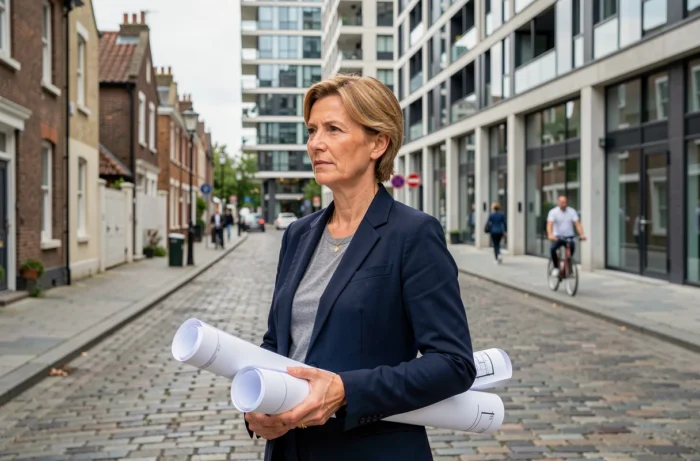
The trajectory of Zero Net Artificialization redefines how municipalities can expand or densify their built perimeter. The Climate and Resilience Law of August 22, 2021, set the framework, and then the law of July 20, 2023, locked in a precise timeline: integration of ZAN objectives into SRADDET by November 22, 2024, into SCoT by February 22, 2027, and into PLU or PLUi by February 22, 2028.
A third law, adopted on November 26, 2025, simplified the integration procedure without altering the deadlines or objectives. Municipalities are therefore compelled to reconsider their urban morphology within a now-fixed timeline.
Rural Guarantee and Low-Density Municipalities
The rural guarantee system grants each municipality covered by a PLU or a municipal map a minimum development envelope. This mechanism recognizes that small municipalities cannot apply the same densification logic as metropolitan areas. It preserves construction capacity where the urban fabric is already very stretched, while maintaining the overall goal of reducing artificialization.
Regional Scale Projects
The decree of July 28, 2026, relaxes the management of ZAN in SRADDET by allowing regions to more easily modify the list of regional scale projects without heavy revisions of the scheme. These projects, exempt from local land consumption ceilings, can generate atypical urban forms (logistics zones, large facilities) that escape the classic compact/sprawling grid.
Urban Morphology and Architecture: What the Fabric Reveals
In urban geography, the urban fabric refers to the patterns drawn by the city observed from above. The built environment constitutes the mesh, while the voids (roadways, parks, wastelands, water surfaces) form the fiber. This reading allows for a quick differentiation between a residential neighborhood, an industrial area, or a dense city center.
- The grid plan organizes streets in an orthogonal grid, facilitating location and land management, but creating numerous intersections that slow down traffic
- The radioconcentric plan converges axes towards a historic center or a monument, concentrating flows and potentially saturating the urban core
- The organic fabric, inherited from medieval cities, follows the curves of the terrain and produces irregular blocks where density varies significantly from one plot to another
- The large housing estates, planned in the 20th century, introduce bars and towers freely placed on vast areas, with open spaces often underutilized
These typologies coexist in most urban areas. A single city overlays a medieval radioconcentric core, grid extensions from the 19th century, and suburban housing areas or large estates from the 20th century. The contemporary challenge is to make these layers interact to improve mobility and housing without consuming additional land.
Urban Forms and Sustainable Development: The Real Trade-offs
Densification is often presented as the sole answer to sustainable development goals. The data from the ZAN framework confirms this direction, but the ground imposes nuances.
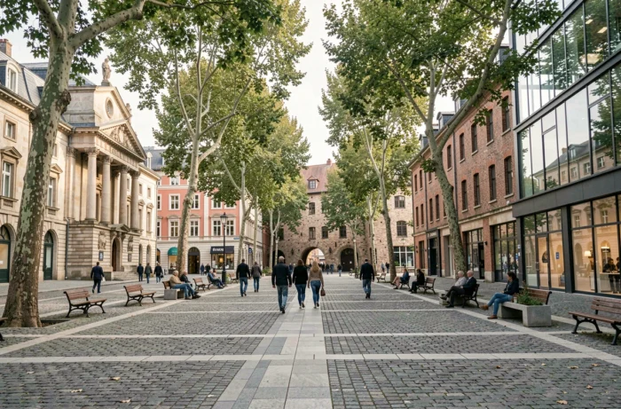
Densifying an old city center requires dealing with heritage buildings, aging networks, and strict height regulations. The cost of rehabilitating a dense block can exceed that of new construction in an extension area. The compact form is not always the least expensive to produce, even though it remains the most land-efficient.
The mixed form, which combines small apartment buildings, townhouses, and shared spaces, offers a compromise between residential density and perceived quality of life. It allows for a portion of individual housing while achieving density thresholds compatible with a viable public transport network.
The choice between these configurations depends on the local context: topography, land prices, capacity of existing networks, and social acceptability. No urban form is a universal solution. Urban planning documents (SCoT, PLUi) are precisely the tools that allow for trade-offs between these logics, plot by plot, according to the constraints of ZAN and the housing needs of each living area.